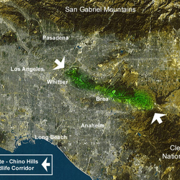
Puente-Chino Hills Wildlife Corridor Map

with No Comments

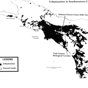
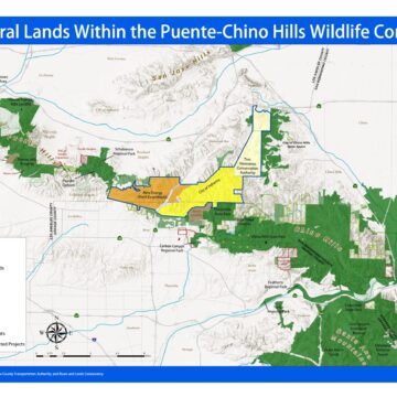
Hills For Everyone updates regularly its base map for the Puente-Chino Hills Wildlife Corridor.  This map outlines the status of lands in the 31 mile long Wildlife Corridor, including existing publicly and privately protected natural lands, properties privately owned, threatened and proposed developments. Download the Puente-Chino Hills Wildlife Corridor Map as a PDF.
Global Hot Spots of Biodiversity Map

with No Comments

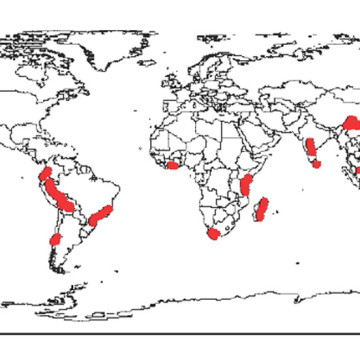
Scientists have designated 20 worldwide “Hot Spots.” These are places rich in species diversity, yet are threatened by imminent development. The Puente-Chino Hills Wildlife Corridor is situated in one of these Hot Spots. This Hot Spot is an area second only to tropical rain forests in both diversity of species and threat. Download the Global Hot Spots of Biodiversity Map as a PDF.

State Park Acquisition Map

with No Comments

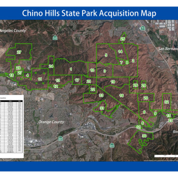
Chino HillsState Park has been created with 33 separate acquisitions, all by willing sellers. It is the most complicated set of acquisitions in State Park history. The project has received the support of democrats and republicans alike in four counties for 35 years. To date, the State has spent over $122 million to protect lands as Chino Hills State Park.  As of February 2015, Chino Hills State Park has 14,102 acres in its ownership. Download the Chino Hills State Park … Read More

Freeway Complex Fire Map

with No Comments

On November 15, 2008 two fires started on opposite ends of the hills about two hours apart. The first fire ignited near the 91 Freeway on the eastern side of the hills in Corona by an automobile exhaust catching dry brush on fire, while the second fire began nearly 11 miles away to the northwest, in Brea, due to an unmaintained power line that also ignited dry brush. Download the Freeway Complex Fire Map as a PDF.

Accessibility Toolbar

Translate »