Satelite Map
on January 15, 2019
with No Comments
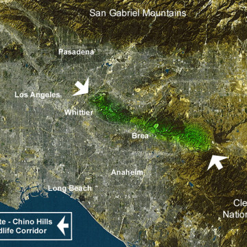
This map shows the Southern California basin from 400 miles in space. The Puente-Chino Hills Wildlife Corridor is shown in green between the two white arrows. Download this Satelite Map as a PDF.
