Trails Closed Due to Rain
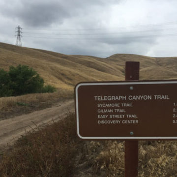
The same trail concerns apply to Chino Hills State Park and other parks. Let’s keep our natural areas in good shape and allow them plenty of time to dry out!
If you want to see the KCET SoCal Connected episode that aired last night on wildfires and that also highlights the Esperanza Hills project, check it out below:
Hills For Everyone updates regularly its base map for the Puente-Chino Hills Wildlife Corridor. This map outlines the status of lands in the 31 mile long Wildlife Corridor, including existing publicly and privately protected natural lands, properties privately owned, threatened and proposed developments. Download the Puente-Chino Hills Wildlife Corridor Map as a PDF.
This map shows the Southern California basin from 400 miles in space. The Puente-Chino Hills Wildlife Corridor is shown in green between the two white arrows. Download this Satelite Map as a PDF.
This map shows the Southern California basin in black and white. The areas in black are urbanized with houses, roads and buildings, while the areas in white are either permanently protected or currently natural lands. Download this Gap Map as a PDF.