Wildlife Corridor Planning Meetings
on January 23, 2020
with No Comments
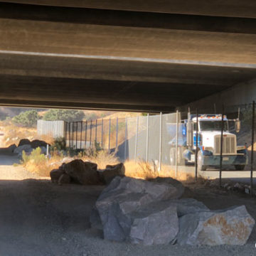
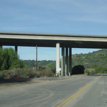
It is great to see our road and wildlife agencies are trying to solve vehicle collisions with wildlife on our roadways. Let’s hope solutions come easily, quickly, and with funding. Read the Public News Service article.