Drought/Wildfires Improve Wildflowers
on February 13, 2019
with No Comments
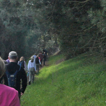
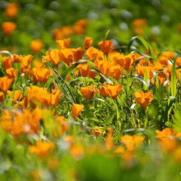
Everyone recognizes that vibrant orange of the California Poppy against the green hillsides. The bloom this year could be good, great or a super bloom–time will tell. Fire and drought coupled with massive rains tend to cause a massive bloom. Chino Hills State Park Senior Environmental Specialist Ken Kietzer says with temps staying cool it helps keep the blooms. Remember, don’t create new trails to blooms, don’t pick the flowers, and don’t trample them. Protect park resources. View the Orange … Read More