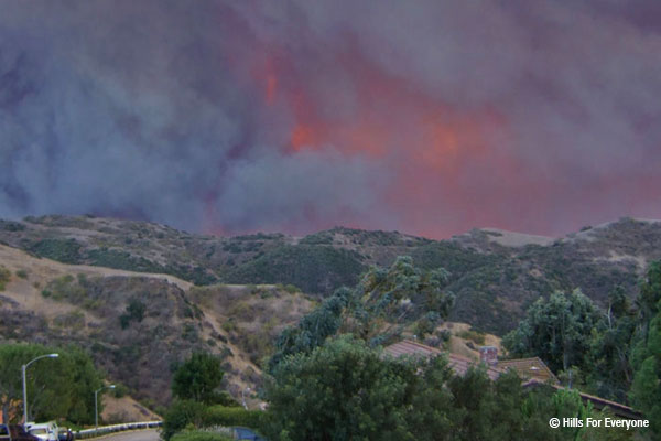
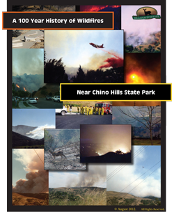
 Though fires are a natural part of the ecosystem, there is nothing natural about the size and frequency of the fires destroying our wildlands year after year. This study is the culmination of research that documents a near 100-year fire history (1914-2011) in and around Chino Hills State Park. Fire perimeters and points of origin are used to articulate the problem months, weather conditions, and “hot spots” of fire ignition.
QUICK FACTS
- This study includes 71 fire perimeters and 70 points of origin totalling 103 separate fires that occurred between 1914 and 2011.
- The three largest fires were: 1948 Green River Fire (41,285 acres), 1967 Paseo Grande Fire (39,872 acres), and 2008 Freeway Complex Fire (30,306 acres).
- The three most prevalent fire months are: July (22 fires), September and October (11 fires each).
- The two months with most acreage burned are: October (85,407+ acres) and November (97,526+ acres).
- The three main known causes of fires include: arson (9 fires), power lines (7 fires), and automobiles (7 fires).
 THE REPORT
Hills For Everyone (HFE) secured the shapefiles (digital data sets) of fire perimeters and points of origin from the California Department of Forestry and Fire Protection (CalFire), the Orange County Fire Authority (OCFA), and Chino Valley Independent Fire District (CVFD). Where appropriate, newspaper articles/maps, State Park Wildland Fire Reports, and personal accounts were used to digitally create a fire perimeter and/or point of origin. HFE used the ArcMap 10.1, a geographic information system (GIS) program, to assimilate the fire data.